Garmin GPSMAP H1 Handheld GPS | Multi-Band GNSS Topographic Maps

Sale price $1,249.00 NZD

Garmin GPSMAP H1 Handheld GPS combines a glove-friendly touchscreen with physical controls, multi-band GNSS support, and preloaded TopoActive maps for reliable outdoor navigation. Built to MIL-STD 810 and IP67 standards, it is designed for demanding conditions while still offering practical extras like satellite imagery downloads, ABC sensors, and up to 145 hours of battery life in GPS mode.

Add to Wishlist
Barcode: 753759329716 SKU: 340157
Garmin GPSMAP H1 Handheld GPS | Multi-Band GNSS Topographic Maps

Garmin GPSMAP H1 Handheld GPS | Multi-Band GNSS Topographic Maps

$1,249.00
Description

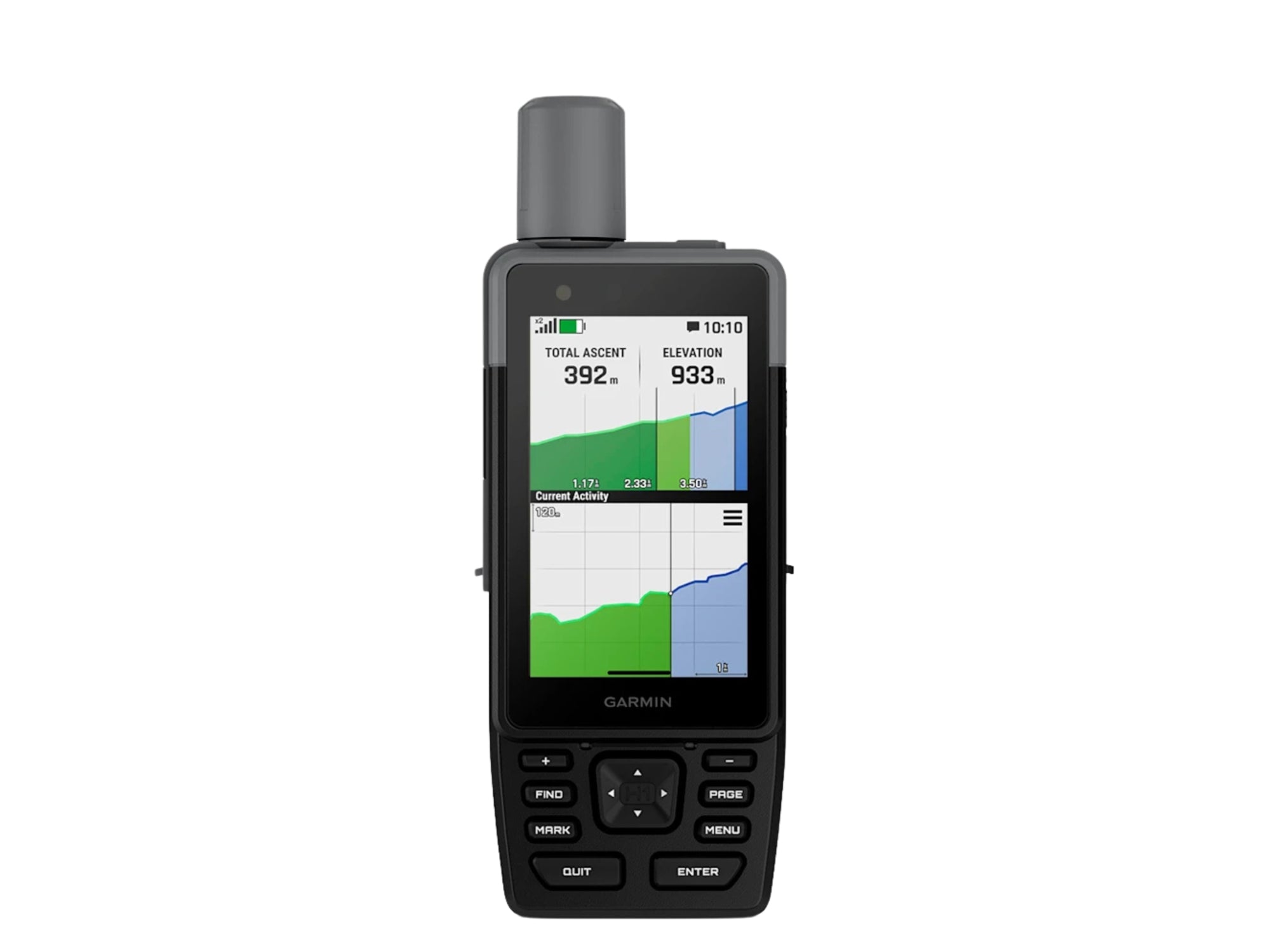
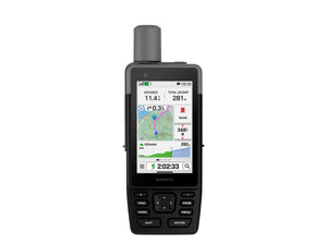
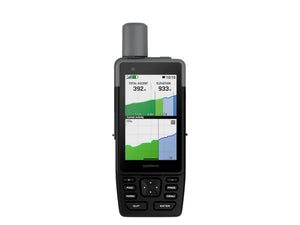
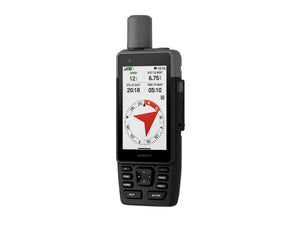
Garmin GPSMAP H1 Handheld GPS is designed for people who spend serious time outdoors and need dependable navigation that can handle changing terrain and weather. The hybrid layout combines a bright 3.5 inch touchscreen with physical buttons, giving you flexible control whether you are navigating in rain, cold conditions, or while wearing gloves.

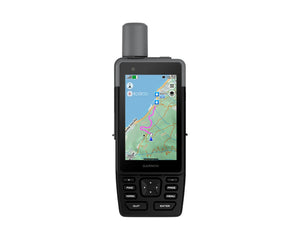
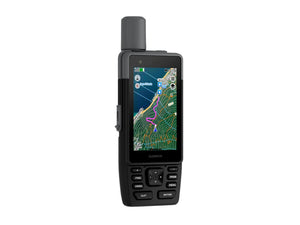
Preloaded TopoActive maps for Australia and New Zealand provide terrain contours, elevations, and geographic detail straight out of the box, while multi-band GPS and multi-GNSS support help improve positional accuracy in more difficult environments such as dense bush or steep valleys. High-resolution satellite imagery can also be downloaded directly over Wi-Fi, making it easier to identify tracks, campsites, parking areas, and route options before heading further into the field.

The long battery life is one of the standout strengths here, with up to 145 hours available in GPS mode for extended trips where charging opportunities are limited. Garmin has also included practical tools that make sense in real outdoor use, including a built-in LED torch, emergency siren, altimeter, barometer, and electronic compass.

For people planning multi-day expeditions, remote tramping routes, or extended backcountry travel, this handheld keeps navigation straightforward without overcomplicating the experience.

Key Features

  • Hybrid Control Design: Combines a 3.5 inch touchscreen with physical buttons for easier operation in wet weather or while wearing gloves.
  • Multi-Band GNSS Support: Improves positional accuracy in difficult terrain, forest cover, and remote outdoor environments.
  • Preloaded TopoActive Maps: Includes Australia and New Zealand mapping with terrain contours, elevations, and geographic points.
  • Satellite Imagery Downloads: Lets you access high-resolution aerial imagery over Wi-Fi for route planning and waypoint marking.
  • Extended Battery Life: Delivers up to 145 hours in GPS mode for longer trips without frequent charging.
  • Rugged Outdoor Construction: Built to MIL-STD 810 and IP67 standards for resistance to water, shock, vibration, and harsh temperatures.
  • Built-In LED Torch and Siren: Adds visibility and emergency signalling support when conditions become challenging.
  • ABC Sensor Suite: Includes an altimeter, barometer, and 3-axis electronic compass for additional navigation awareness.
  • Garmin Explore App Integration: Supports trip planning, route sharing, and geographic point management through the paired app.
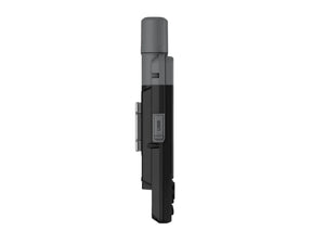
  • Spine Mount 2 Compatibility: Allows attachment to compatible mounting accessories for flexible carry and setup options.
  • Lens Material: Chemically strengthened glass
  • Dimension: 6.7 cm x 17.9 cm x 3.3 cm (2.6″ x 7″ x 1.3″)
  • Weight: 276 g (9.7 oz)
  • Water rating: IP67
  • MIL-STD-810: Yes (thermal, shock, water); bare unit only
  • Touchscreen: Yes
  • Display Type: Transflective colour TFT
  • Display Size: 4.7 x 7.7 cm (1.9″W x 3″H), 8.9 cm (3.5″ diagonal)
  • Display Resolution: 282 x 470 pixels
  • Battery type: Rechargeable, internal lithium-ion
  • Battery life: All Satellite Systems + Multi-Band: Up to 145 hours*, Expedition Mode: up to 840 hours, *Assuming typical use with SatIQ™ technology
  • Memory/History: 64 GB (user space varies based on included mapping)
  • Interface: USB-C
  • Preloaded maps: Yes
  • Ability to add maps: Yes
  • Basemap: Yes
  • Automatic routing (turn by turn routing on roads) for outdoor activities: Yes
  • Map segments: Yes (15,000)
  • Satellite Imagery: Yes (direct to device)
  • Includes detailed hydrographic features (coastlines, lake/river shorelines, wetlands and perennial and seasonal streams): Yes
  • Includes searchable points of interests (parks, campgrounds, scenic lookouts and picnic sites): Yes
  • Displays national, state and local parks, forests, and wilderness areas: Yes
  • External memory storage: Yes (1 TB max microSD card)
  • Waypoints: Yes
  • Courses: Unlimited
  • Activities: unlimited
  • Activity profiles: Yes
  • GPX imports: Yes
  • Rinex logging: Yes
  • GPS
  • Galileo
  • QZSS
  • BeiDou
  • IRNSS
  • Barometric altimeter
  • Compass: Yes (tilt-compensated 3-axis)
  • High-sensitivity receiver
  • GPS compass (while moving)
  • Multi-band frequency
  • Connect IQ™ (downloadable watch faces, data fields and apps)
  • Smart notifications on handheld
  • Weather (removing Active)
  • Pairs with Garmin Connect™ Mobile
  • Garmin Share
  • Passcode
  • Auto correct keyboard
  • LiveTrack
  • Safety siren
  • Compatible with AB Synapse
  • Ballistics solver: Yes (unlock required)
  • Dual grid coordinates
  • Night vision mode
  • Point-to-point navigation
  • Spoken turn-by-turn directions
  • TracBack®
  • Area calculation
  • Sun and moon information
  • Geocaching-friendly: Yes (Geocache Live)
  • Custom maps compatible: Yes (500 custom map tiles)
  • Picture viewer
  • inReach remote widget
  • LED beacon flashlight
  • Flashlight
  • inReach remote compatible
  • Compatible with Garmin Explore™ app
  • Garmin Explore website compatible
  • Dog tracking: Yes (when paired to compatible dog track system)

This product is covered by your rights under the New Zealand Consumer Guarantees Act.

Recently viewed products